Mont Pelvoux
Climbing Expedition Report
Mont
Pelvoux
Introduction: A new shot
After our adventure in Switzerland—where the weather prevented us from climbing—Rogier and I quickly decided to give it another shot. Chris left for South America shortly after that. We aimed for the weekend of June 6–7, still early in the season. We had our sights set on the Kuffner Ridge on Piz Palü or the Forbes Arête on the Aiguille du Chardonnet. But once again, the weather put a stop to those plans. After carefully studying the weather forecasts for the Alps, we agreed that the Écrins region offered us the best chance of success. Rogier called the Refuge des Écrins, but it was already fully booked. So, we quickly called a few other huts, and fortunately, the Refuge du Pelvoux still had space for us. That meant we would be tackling the 3,943-meter Mont Pelvoux—certainly no hardship! We studied the route topos and photos and soon concluded that we wanted to attempt the traverse. Little did we know how that route would end…
On our way to France
Rogier showed up at my doorstep at 6:00 PM. I had just managed to wolf down an *uitsmijter* (fried-egg sandwich), so I was ready for the journey. The distance from Nieuwegein to the Écrins is over 1,300 kilometers, so we spent the night somewhere about a five- or six-hour drive away. We had booked a cottage via Airbnb near Mâcon, and it turned out to be a real gem. We remarked to each other what a shame it was that we’d be staying there for such a short time. But we were there to climb, not to go hiking in Burgundy.
Last part and the hike to the hut
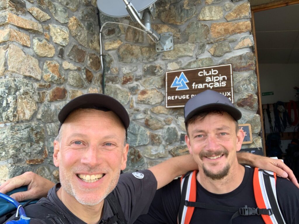
The next morning, we drove the final leg via Lyon to Grenoble and on into the Écrins region. Neither Rogier nor I had ever climbed here before, so the area was new to us. And what a stunning landscape it was! Green, rugged, and steep, with early views of towering white peaks like La Meije and many others. We thoroughly enjoyed the last part of the journey and soon arrived in Ailefroide, the starting point for the hike to the hut. We packed our bags, and after a fierce struggle, Rogier won the battle over who would carry the rope. Oh well, I’ll carry it tomorrow then. The route to the Refuge du Pelvoux started out fairly flat, following a stream. After about an hour, the path veered toward the mountain and the terrain grew steeper. I offered dozens of times to take over carrying the rope, but Rogier absolutely refused to hand it over. We arrived at the hut at 6:30 PM, after a three-hour hike. We were able to sit down for dinner right away. After the meal, we went over the route in detail and asked the hut warden for some information. He told us that conditions were good, but that our plan would make for a long day. The grand finale would be a ridge we’d have to down-climb just before reaching the valley. Well, I’m certainly curious to see how that goes!
The ascent to Mont Pelvoux
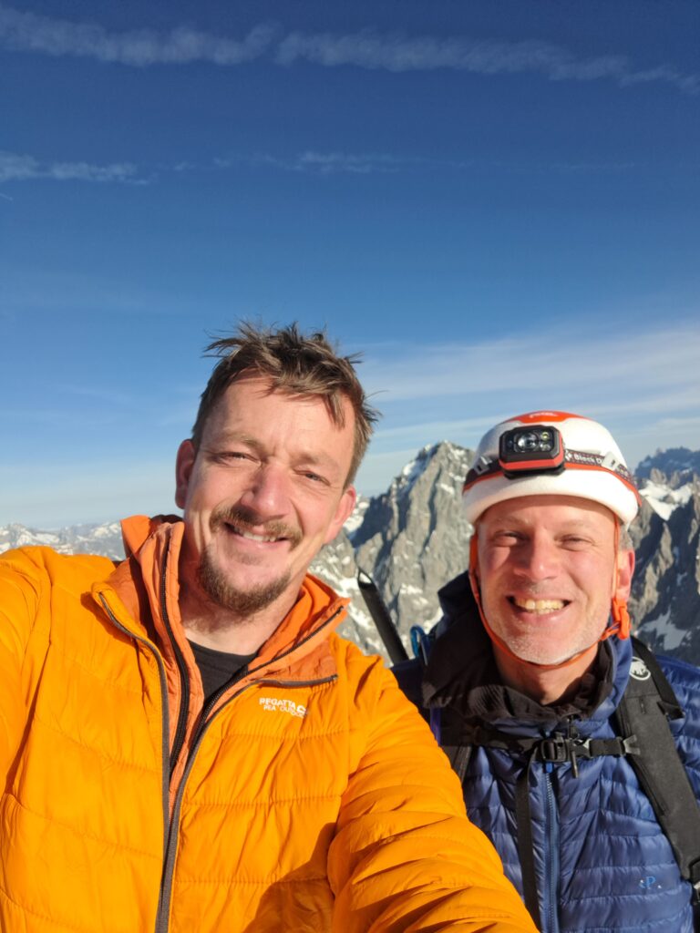
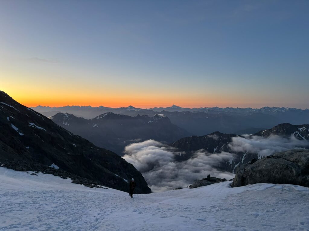
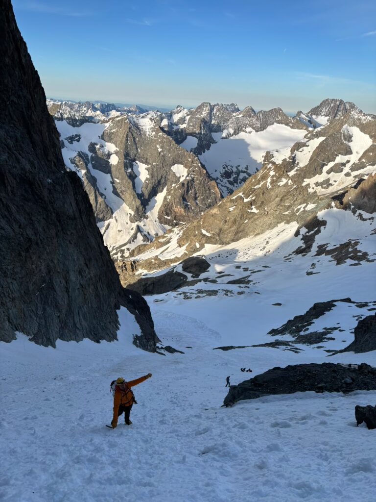
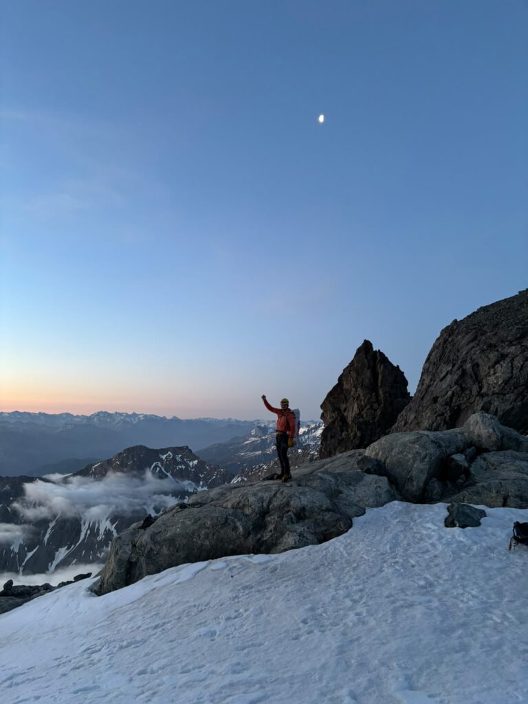
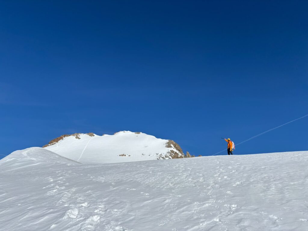
At 3:00 AM, a staff member from the hut wakes us up. Getting out of bed in the middle of the night is always a bit of a struggle. And breakfast at the hut is even more of a challenge. The bread is often so heavy and tough you could smash a window with it. But we need energy, so a good breakfast is important. After breakfast, we gear up and step out of the hut, full of high spirits. We can already see several headlamps above the hut, so finding the route is a breeze. We scramble up some rocks and traverse snowfields and rocky sections as we ascend the mountain. Some stretches are icy, so we decide to put on our crampons. After a while, we reach the final snowfield before the couloir and take a short break. From this spot, we have a beautiful view of the sunrise. After the break, we continue and enter the Coolidge Couloir. The start isn’t steep, but halfway up, it really becomes a calf-burner. Our “flatlander legs” aren’t used to that sort of thing! But fortunately, we train hard for this sport back in the Netherlands, so we’re keeping up a good pace. Rogier climbs ahead of me for most of the route, but just as we reach the end of the couloir, we stop for a quick chat, and then I take the lead. I climb up the loose scree onto the glacier plateau and shake out my calves a bit. That part is done! I grab my phone and film Rogier climbing the final section of the couloir. We’re having a great time on the magnificent Pelvoux. We take another short break and then head towards the summit. This part of the route is a simple matter of trudging through snow, followed by a short ridge. I film Rogier’s final meters to the summit, and once he’s up there, he films me. He calls out that there are only 5 meters left, and I make a quick dash for it. And so, there we stand together on the 3,943-meter-high Pointe Puiseux, the highest point of Mont Pelvoux in the Écrins massif. We have a phenomenal view stretching from Monviso to Mont Blanc, and we even think we can see the Mediterranean Sea in the distance.
Descending the mountain: A perilous adventure
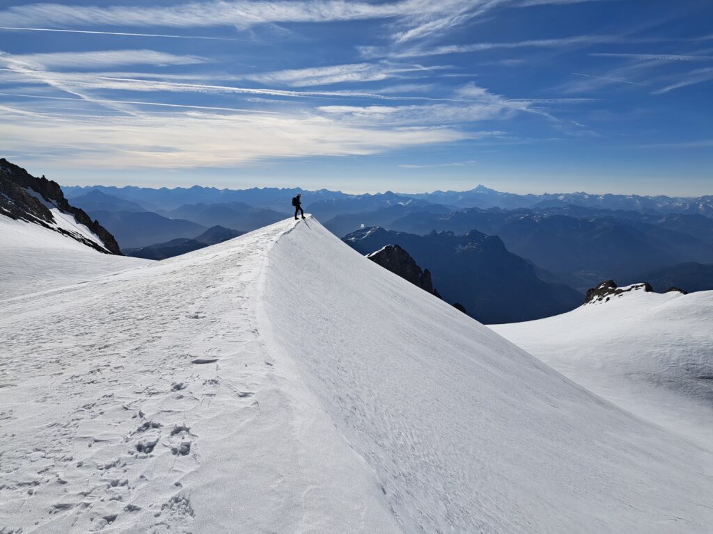
After taking a few photos and videos, we begin our descent. We briefly consider ascending the second peak, Pointe Durand. But after a quick consultation, we decide to continue our descent instead. The route looks like a massive scree slope, and that doesn’t appeal to us. So, we head further down—first along a beautiful snow ridge, then across the Glacier des Violettes. We aren’t roped up yet, but that changes quickly. The first crevasses come into view, signaling that it’s time to get the rope out of the pack. We rope up and continue descending. We spot tracks leading to a small plateau; that’s where the first rappel will be. Our hunch is right, and we rappel down a steep rock face. Next comes a fairly flat stretch of glacier, and we soon reach the longer rappel. We team up with a French group here. This allows all four of us to use the same ropes, helping us descend quickly. Another flat section of glacier follows. This makes for an enjoyable and varied descent. At no point do we face those long, tedious stretches of trudging through snow. After this snowfield, we climb up a rocky section using a fixed rope and arrive at the final rappel point. We initially consider down-climbing it, but it quickly starts looking a bit too tricky. So, we decide to rappel after all. At the rappel point, we run into a guide and his client and strike up a conversation. The guide is a cheerful fellow, and we share a few laughs. They reach the bottom first, and we watch him sliding down the snow on his backside. What a character! We follow them, and soon we, too, are off the snow and onto the hiking trails. The risky sections are behind us. I quickly fill my bottle with water from the stream and stow away our climbing gear. After all, we think, it’s just a hiking trail from here on out… But just before reaching the valley, we come across the notorious ridge we had been warned about. The cheerful guide had also reminded us that the trek wasn’t over yet. We climb down the ridge and end up in a riverbed. Here, we completely lose the route. There isn’t a shred of logic to be found anywhere. A little further on, the river turns into a waterfall; we’re surrounded by steep cliffs—what a hassle! I’m getting increasingly grumpy. Battling your way down a mountain is part of the game, but on a hiking trail? We check the GPS, and it seems the route actually lies above the rocks. But climbing another few vertical meters of rock doesn’t look like the logical thing to do. Still, we climb up anyway, and sure enough, we spot the path again. Relieved, we continue our descent, though there are still a few steep sections we have to climb down. But then, finally, we really are in the valley.
We can laugh about our harrowing adventure now. We stroll leisurely back to the car and flop down in the parking lot. We’ve been out for thirteen and a half hours—what a day. But what a wonderful day; it had a bit of everything. I felt nothing but joy. I really needed this climb—both physically and mentally.
It was the first time Rogier and I climbed together. Yet it felt as though we’d been climbing together for years. No arguments, just fun and high spirits—and safety was the top priority. We had planned to take turns carrying the rope, but I ended up keeping it with me all day. Sometimes, it’s these little quirks that make the day.
Get In Touch
Ready to embark on your next adventure or looking to enhance teamwork and cooperation within your organization through exhilarating experiences? Feel free to contact us. We’d love to discuss how Bart Van Bemmel’s expertise in mountaineering and extreme sports can create unforgettable journeys and valuable lessons tailored to your needs. Get in touch today to start your unique adventure or team-building experience.