Brocken Trailrun
Harz Mountains
Germany
The plan.
For quite some time, I had been thinking about running up the 1,142-meter-high Brocken. The Brocken is a remarkable mountain in Germany’s Harz range. What makes the mountain so special are the following factors: It is foggy 306 days a year. On average, the Brocken is covered in ice for 100 days a year. Snow lies on the ground for an average of 176 days. For 85 days a year, temperatures remain below 0°C all day long. In winter, minimum temperatures can drop as low as −28°C. The average annual temperature is 2.9°C. Average annual precipitation is 1,422 millimeters. The highest recorded wind speed reached 263 kilometers per hour. It is a particularly prominent mountain. There is no higher peak within a radius of hundreds of kilometers. An alpine climate prevails at the summit, which rises above the tree line. That sounds like exactly the sort of thing for me! The area is just a few hours’ drive from home. Ideal for a short trip.
Saturday, April 11: The run over the mountain.
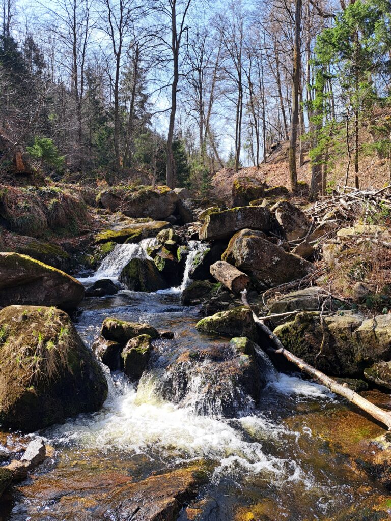
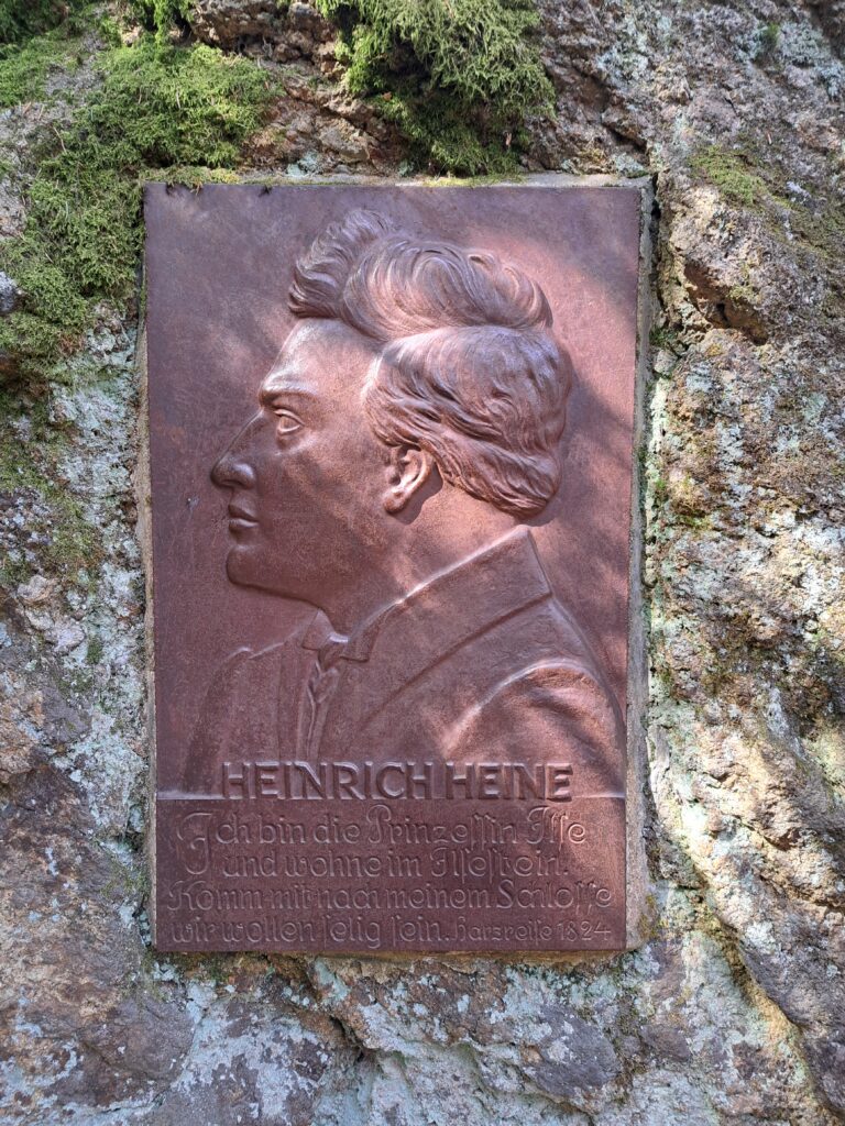
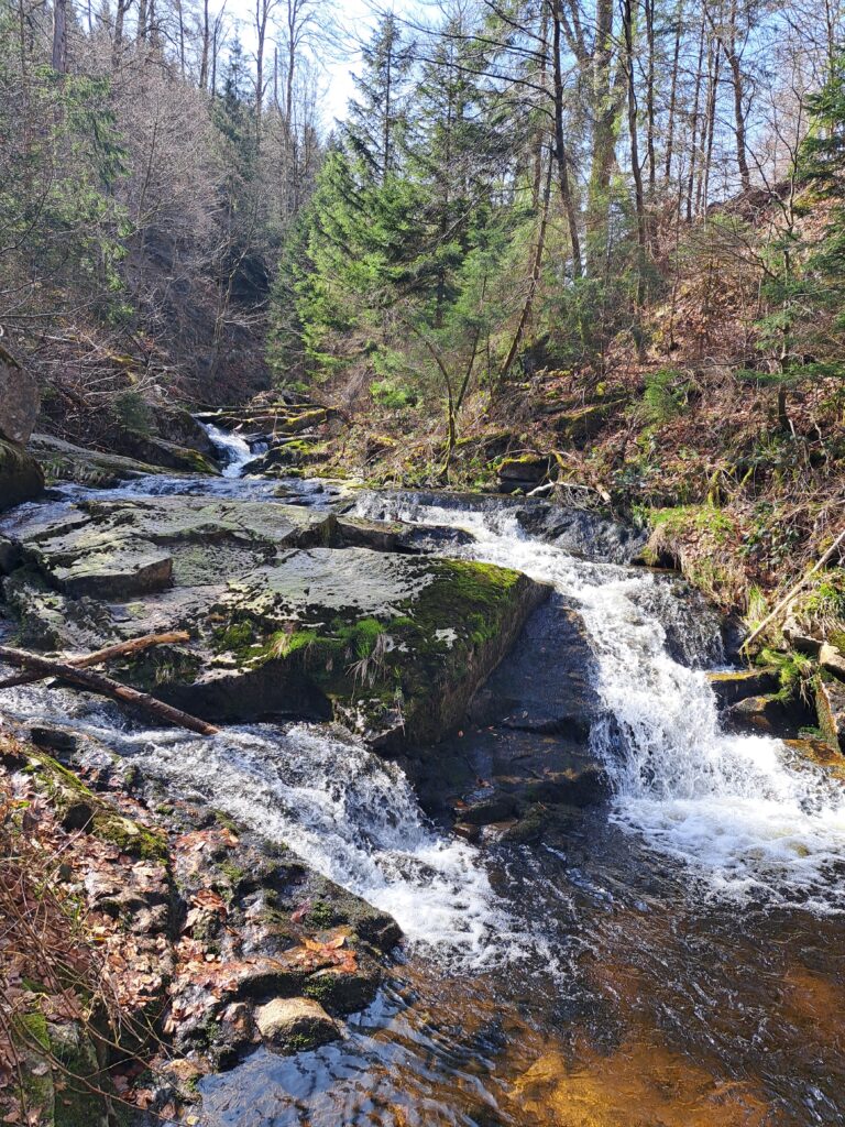
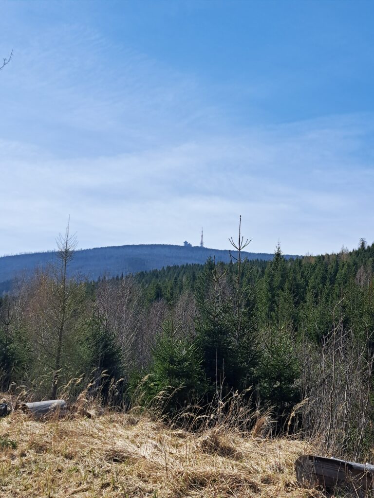
So, last Saturday, my younger brother and I got in the car and drove to Ilsenburg, a small town at the foot of the mountain. After arriving, we first visited the medieval monastery. There is more to see than just the mountain, of course. The monastery was interesting to see, though I’ve seen better ones. Then it was time to put on my trail running gear and head up the mountain. A route called the Heinrich Heine Trail runs from Ilsenburg up the mountain. Heinrich Heine was a 19th-century German poet of Jewish descent—and that’s about the extent of my knowledge regarding the man. But this route is said to be the most beautiful way to ascend the Brocken, so who am I to question Heinrich’s judgment? I ran down from the monastery to the river and followed it upstream. The route was indeed stunning, with streams, rocky paths, and mountains all around me. After a few kilometers, I passed the beautiful Ilse waterfalls, where I took a moment to soak in the surroundings. Trail running in an environment like this is just so much fun. After the waterfalls, the Brocken came into view. The mountain still looked so far away from there. But fortunately, I was still able to maintain a reasonably fast pace. A little further on, a sign indicated that the summit was only 4.5 kilometers away—which, in terms of distance, isn’t actually very far at all. I checked my watch and saw that I still had over 400 meters of elevation to gain. The distance wasn’t great, but gaining more than 400 meters in elevation over 4.5 kilometers means only one thing: steep!
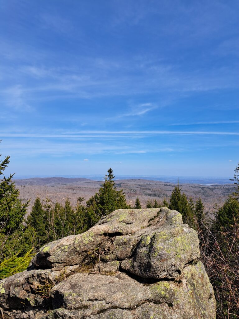
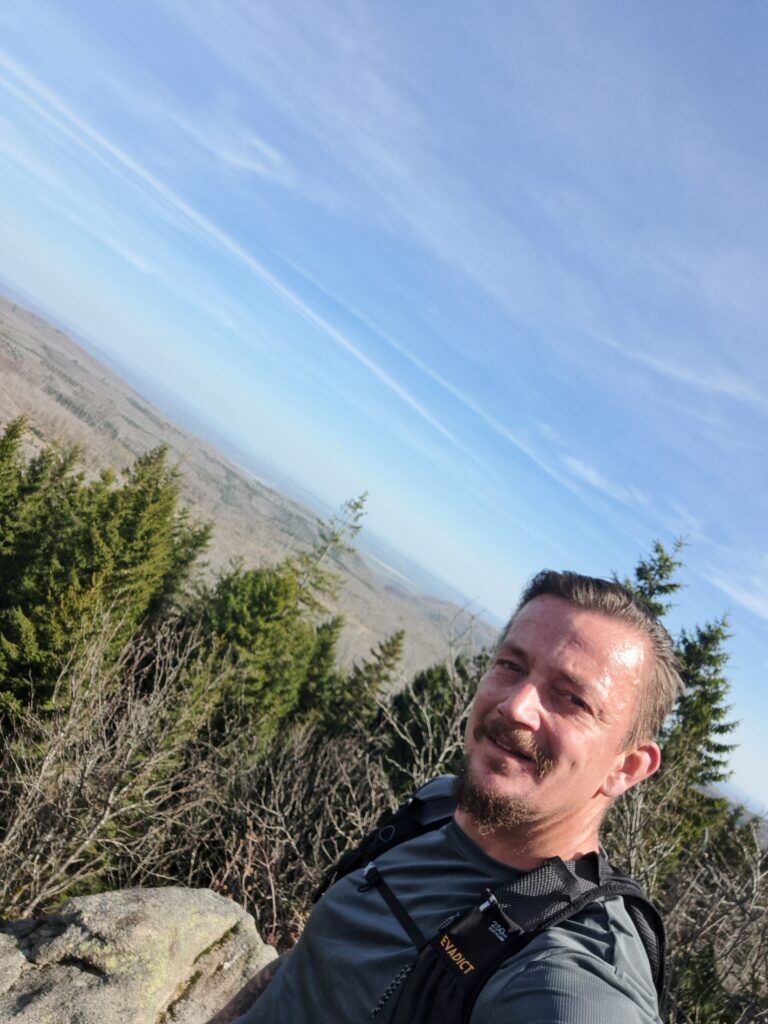
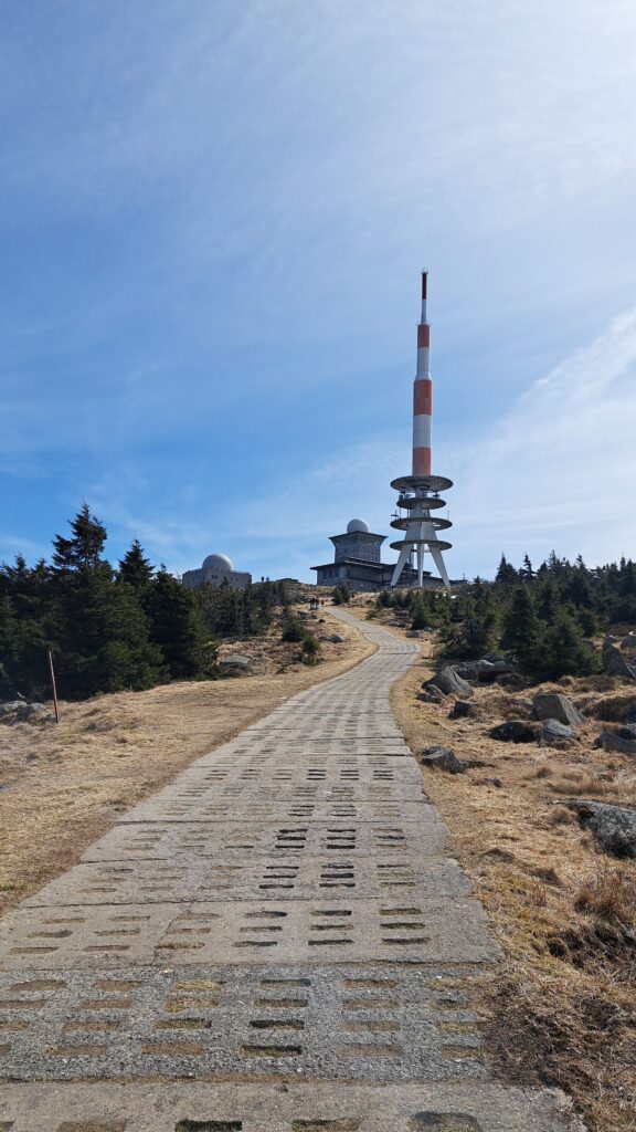
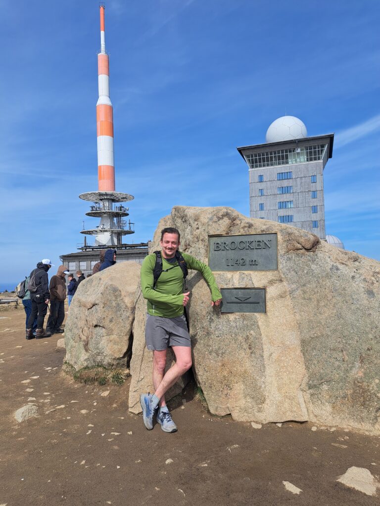
And that certainly turned out to be true; the path became so steep that running was no longer an option. So, I decided to walk at the fastest pace possible. Many people looked at me and smiled. On one hand, they likely respected the effort, but I can also imagine them thinking I was crazy. Along the way, I came across a small, somewhat dilapidated tower offering a view over Northern Germany. Naturally, I climbed it to take some photos of the scenery. The wind was noticeably stronger higher up the mountain, so I quickly moved on before I could get cold. After tackling some more grueling, calf-burning elevation gain, I rounded a bend and saw that the summit wasn’t far off. The path also leveled out a bit, allowing me to pick up the pace again on certain stretches. And then—after one hour and forty minutes, 900 meters of elevation gain, and 12 kilometers—I stood at the summit: goal achieved! It was incredibly busy at the top. A small train runs up the mountain, so naturally, many tourists take the easy route up. At the actual summit, there is a cairn—a stack of stones—displaying the mountain’s name and elevation. It was crowded there too, of course, but I decided to queue for a photo anyway; I felt I had earned it. Fortunately, the line moved quickly, and it wasn’t long before it was my turn. The wind was strong up there and the temperature was just above freezing, so I had no intention of standing still for long.
I made a quick visit to the museum, and then it was time for the descent. I had chosen the Teufelsstieg for the way down. Firstly, because it would bring me out at a convenient spot where my younger brother and I could drive to the Wurmberg cable car. And also because it is the toughest route up the Brocken, so the descent promised to be fun, too. And it certainly was. The route followed a path strewn with boulders, and I descended rapidly, running and leaping along. However, proper running wasn’t really possible just yet. After a while, the path turned back into a gravel track, allowing me to pick up the pace again. The scenery was a bit less attractive here, mainly because the bark beetle had wreaked havoc on this side of the mountain. This little creature had caused vast stretches of coniferous forest to die off, giving the landscape a somewhat gloomy feel at times. Still, the view over the Harz Mountains was stunning, and there was a lovely stream I could follow. After a while, I reached the town of Schierke, but I had only covered 18 kilometers by then. A half-marathon distance seemed more appealing, so I pressed on to the village of Elend. The Teufelsstieg ended in that village too, so it was a good reason to keep going a bit further. On the way, I encountered a wild boar, but unfortunately, it had already bolted before I could grab my phone for a photo. After that wildlife encounter, there was one last short but steep descent before I ran into the town where my brother was waiting for me. 21.8 kilometers and 2 hours and 22 minutes later, it was all over. What a fantastic trail, what an amazing area, and what a magnificent mountain. Even though the Brocken made me work hard, I enjoyed every single step. After the trail, we set off together again and played the tourist. For beyond its natural beauty, the region is also rich in culture and history.